Betfred Cupón De 50 Euros Apuestas Deportivas: Al permitirle cualquier número entre 1 y 20 líneas de pago, puede manipular tanto el tamaño de sus apuestas como la varianza a un nivel muy granular.
Para ahorrarle algo de tiempo, nos hemos tomado la libertad de enumerar nuestras recomendaciones para los mejores nuevos sitios de tragamonedas en línea en Nueva Zelanda.
Esto significa que pierden su valor cada vez que los jugadores los usan en otros juegos además de los especificados.
Helios desciende de la mitología griega, donde era una personificación del sol y un dios del sol es uno poderoso para quien preferiblemente se debe evitar arruinar el sueño de la tarde.
Global Ground Motion Service (GGMS) is a global land and structures deformation on-demand service based on InSAR technology. Users around the world can select an area and receive land or structures deformation analysis.
European Ground Motion (EGMS) service is an EU initiative which provide regular (once a year) and free information regarding natural and anthropogenic ground motion phenomena all over Europe.
GGMS is the most effective tool to early detect, measure and monitor land and objects deformations and develop preventive measures against the risks.
The service can be used by geotechnical engineers, geodesists, land surveyors, geologists, assets managers and operational managers responsible for different assets, home inspectors and technical inspectors etc.
It can be used in assets monitoring, infrastructures and property management, construction, civil engineering, insurance, civil and environmental protection and a number of other sectors.
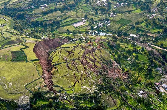
Environmental protection. Massive landslide, Cusco, Peru, 2018
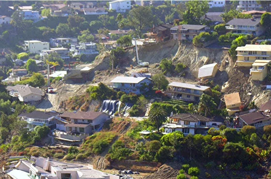
Civil protection. Landslide destroying a settlement
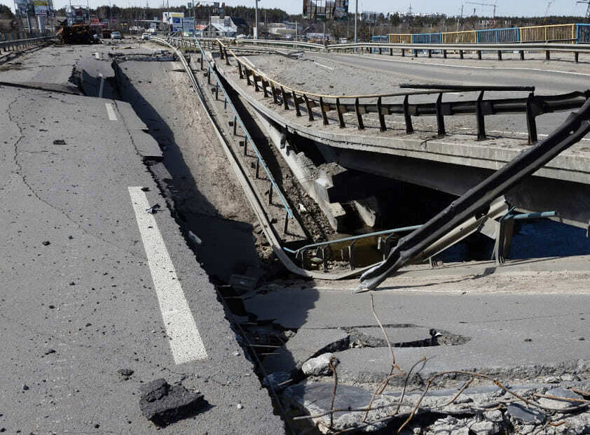
Infrastructures monitoring and predictive maintenance. Large area land deformation causing bridge destruction
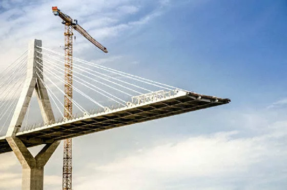
Geotechnical investigation. Large civil engineering projects require large areas investigation and monitoring
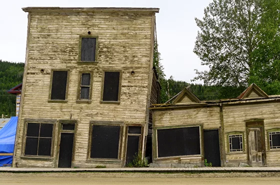
Property deformation risk monitoring and investigation. And old house cracking in Dawson, Canada
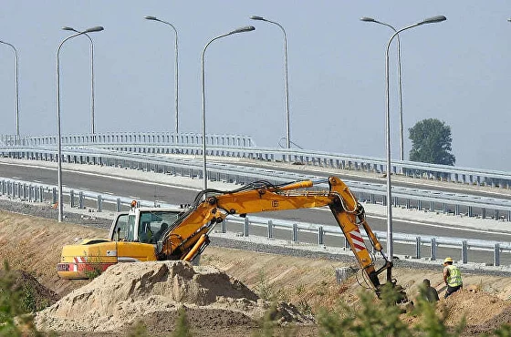
Construction area monitoring. Earth works next to the highway affected by instabilities